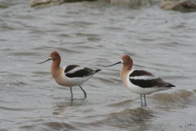
larger image
I just love their blue legs.
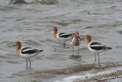
large image
The toe webbing of Avocets is well developed and they are among the few shorebirds that regularly swim. This picture sort of shows the toe webbing
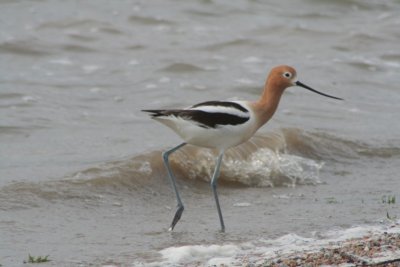
larger image
Photos were taken at Pawnee Lake

Once estimated to be in excess of 20,000 acres, less than 4,000 acres remain and many of these are degraded. These wetlands form a regionally unique wetlands complex located in floodplain swales and depressions within the Salt Creek, Little Salt Creek, and Rock Creek drainages in Lancaster and southern Saunders counties, Nebraska.
The source of salinity for these wetlands is not fully understood, but it’s postulated it is from groundwater inflow that passes through a rock formation containing salts deposited by an ancient sea that once covered Nebraska (USDA 1996). The seepage of groundwater over thousands of years from deeply buried saline aquifers has accumulated salts in the floodplain soils, allowing this unique wetland type to form.
The abundant mud flats of the saline wetlands are rich in invertebrate life and frequented by a variety of migratory shore birds, other bird species, and wildlife. Salt tolerant plants that are found nowhere else in Nebraska can be found here.
Nebraska’s most rare and most threatened natural community.


 Posts
All Comments
Posts
All Comments


